Qualta Consulting LLC
Vorteks Geographic View
The Vorteks Geo View taps into the Open Source Open Street maps to look at geographical data from Continent level down to street level.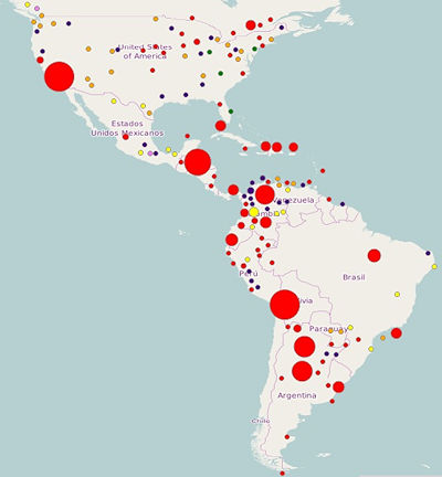
Figure 1: Street Maps View
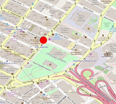
Figure 2: Street Level View
The Geographic View also enables the ability to set a radius around a point in either miles or kilometers and then select all of the documents (that contain geo-coordinates) within the radius.
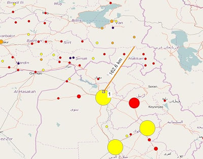
Figure 3: Geo Radius .